
MEBIS
Cemetery Information System
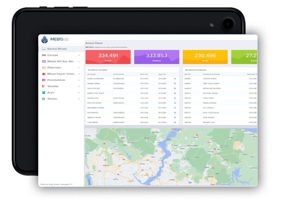
The coordinates of the burial site are determined by our field teams using “Total Station” devices. The coordinates of the designated burial site are transferred to GIS applications such as ArcGIS. The Tomb books available in the institutions are scanned in detail in accordance with quality control standards and transferred to digital media.
2012
Turkey
- Hospital-health-care
- English
Industries
- Hospital-health-care
Licensing & Deployment
- Proprietary
- Cloud Hosted
- Web-based
Support
- Email
- 24x7 Support
Knowledge Base
- Help Guide
- Video
- Blog
Media
MEBIS Core Features
Focus of Cemetery Feature
- Integration capabilities
- Mapping and navigation
- Plot management
- Record-keeping
- Reporting and analytics
MEBIS Pricing
Pricing Type
- Contact Vendor
Preferred Currency
- USD ($)
Free Version
- No
Payment Frequency
- Quote Based
MEBIS Reviews

This profile is not claimed
Do you own or represent this business? Enter your business email to claim your Goodfirms profile.