
CSV2GEO
Batch Geocoder and Interactive Map Creator
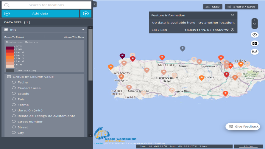
CSV2GEO provides live conversion of worldwide batch addresses into geographic coordinates (address to lat long) or turn coordinates into a well-formatted address It creates and publishes interactive maps.
Licensing & Deployment
-
Cloud Hosted
-
On Premises
-
Web-based
-
iPhone/iPad
-
Android
-
Windows
-
Mac
-
Linux
Support
-
Chat
-
Phone
Knowledge Base
-
Help Guides
-
Video Guides
-
Blogs
-
On-Site Training
Media
CSV2GEO Core Features
Focus of GIS Feature
- Data Analysis
- Geo-coding
- Labeling
- Mapping Tools
- Navigation Services
- Remote Sensing
CSV2GEO Pricing
Pricing Type
-
Free
Payment Frequency
-
Monthly Payment
-
Annual Subscription
-
Quote Based
-
One-Time Payment
-
Free
