DIVA-GIS
Free, simple & effective
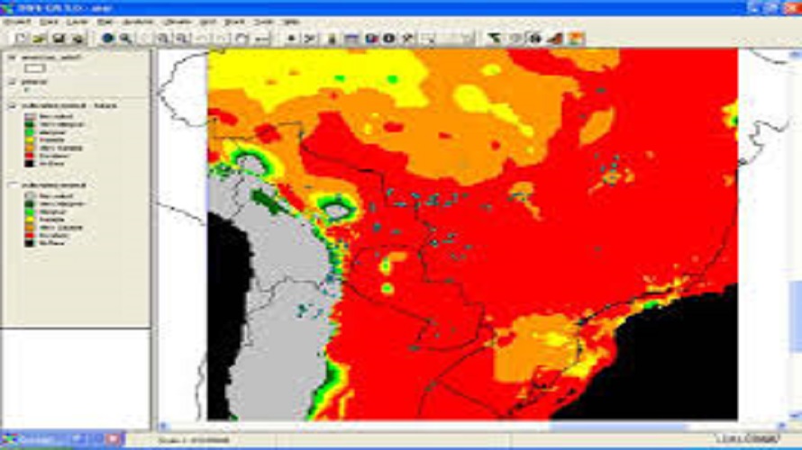
DIVA-GIS is a free computer program for mapping and geographic data analysis (a geographic information system (GIS). With DIVA-GIS you can make maps of the world, or of a very small area, using, for example, state boundaries, rivers, a satellite image, and the locations of sites where an animal species was observed. We also provide free spatial data for the whole world that you can use in DIVA-GIS or other programs.
Licensing & Deployment
- On Premises
- Web-based
- Windows
Knowledge Base
- Help Guides
Media
DIVA-GIS Core Features
Focus of GIS Feature
- Colour Coding
- Data Analysis
- Geo-coding
- Image Management
- Labeling
- Mapping Tools
- Navigation Services
- Spatial Analysis
DIVA-GIS Pricing
Pricing Type
- Free
Payment Frequency
- Free
DIVA-GIS Reviews

This profile is not claimed
Do you own or represent this business? Enter your business email to claim your Goodfirms profile.